
Download GPX file - see GPS track
Current WTR maps in PDF, edition 2024, available for download and printing (A4 format).
- files: 8. Ujście Jezuickie – Szczucin / 9. Between Ujście Solne and Ujście Jezuickie / 10. Niepołomice Forrest / 11. Kraków / 12. West of Kraków / 13. Zator and Carp Valley (Dolina Karpia) / 14. Oświęcim and the surrounding area / 15. Piwniczna Zdrój - Muszyna
The route makes it possible to conveniently reach the most important historical sites in Małopolska, led by the Tyniec Abbey, the Wawel Castle or the Wieliczka Salt Mine. In addition, there are local tourist routes branching off from it, allowing you to visit the attractions located in the close vicinity of the Vistula River. We particularly recommend the Carp Valley Trail with its picturesque ponds, the Grodzisko/Skansen cycling trail leading up to the walls of Lipowiec Castle and the open-air museum in Wygiełzów, or the trail leading to Zalipie, the most famous painted village in Poland.
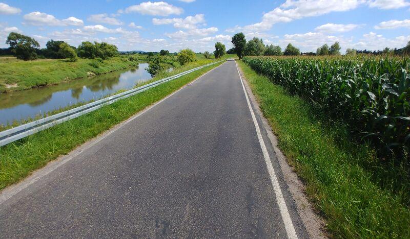
Heading from the west, the Vistula Cycling Route in the Małopolska Voivodeship starts in Jawiszowice. Practically all the way to Oświęcim, it runs along local roads with little traffic and through the area of ponds in Brzeszcze (Natura 2000 area). In Oświęcim, the route makes use of the existing pedestrian and cycle paths on the Soła embankments, thanks to which we pass the whole town away from car traffic. The main monuments of Oświęcim, including the Castle and the Market Square lie in the immediate vicinity of the cycle route, so those interested in the rich history of the town or looking for gastronomy will not overstay their welcome.
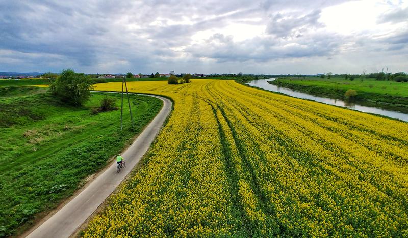
We do not reach the Vistula River (the source of the route's name) until Broszkowice and cross the bridge to its left bank. From here, you will ride along the river embankments, mainly on asphalt, all the way to Kamień. Gravel sections of the route are only found between Jankowice and Okleśna (approx. 6 km in total), but you can also go around them on local roads. Riding on the embankments has many advantages, as it is guaranteed to be smooth and flat, plus quiet and beautiful at any time of year. For some, of course, it can be "deathly boring", but for cyclists aiming to cover long distances it is a dream stretch. It is only in Podłęże and Kamień that we have to face the only serious uphill stretch on this route. On the other side of Kamień, there is a very long descent to the dam in Łączany.
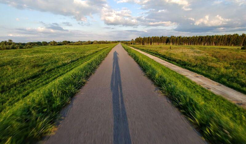
We rejoin the embankment in Chrząstowice, where we admire the view of the meandering river on one side and the horses grazing in the numerous stud farms on the other. At the end of this section, in Pozowice, you will be faced with a dilemma: stick to the WTR signs and ride another 12 km through local villages, or turn onto the newest cycle route along the Łączany - Skawina Canal.
Regardless of your choice, both variants will lead to the same place, i.e. a footbridge over the Skawinka River. Here, we still recommend turning on your navigation and using the diversions gpx, which avoids the Vistula embankment under repair within Tyniec. Behind the A4 motorway we pass the KOLNA mountain kayaking track and comfortably along the embankments we reach Krakow. A stopover here could even be...multi-day, there are so many interesting places to see! But if you want to complete the whole route, you need to go further.
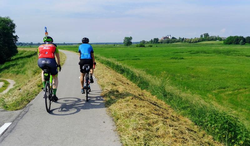
We will pass through Krakow by the Vistula Boulevards, and from the Wanda Bridge we have to use navigation again. If you follow the trail, you will reach the next fully completed 110-kilometre section from Niepołomice up to the voivodship borders in Szczucin. The vast majority of these kilometres lead, along the Vistula embankments. Sometimes you have to turn off into the surrounding roads, which is worth taking advantage of to buy something to eat and drink at local shops or food outlets. One such place is Wietrzychowice, where the WTR joins the VeloDunajec route.
To continue eastwards, we need to use the Wietrzychowice-Siedliszowice river ferry that operates on the Dunajec. It operates in high season from early morning until night, but sometimes courses may be suspended due to high water levels or other circumstances. It is worth verifying this each time, as the next ferry is in Otfinów, and the nearest bridge is only in Żabno. Immediately after the ferry there is a several-kilometre section through picturesque and peaceful villages of Powiśle Dąbrowskie, through which you will reach Ujście Jezuickie. In the past, a ferry used to run from this village to Opatowiec - now the ferry is closed. Here you can observe a unique sight - the waters of the Dunajec River flow into the Vistula. From here, there is still a more than 30-kilometre section of the route exclusively on embankments, until the end of the Malopolska section of the route in Szczucin.